Ram. Idaho
Backpacking The Middle Fork of The Salmon River
I just returned from a seven day backpacking trip along the Middle Fork of the Salmon River in the heart of the Frank Church River of No Return Wilderness with my family. The four of us walked from Boundary Creek to Indian Creek. Many of those miles were spent slowly maneuvering over fallen trees from past wildfires along the trail. While our hike was a bit more rugged and slow going than we anticipated, we had the time to carry on at a slower pace and not hurry to our eventual pick-up at Indian Creek by a back country pilot.
My two sons, Will (12) and Charlie (10), each carried considerably heavy backpacks for a week. Along the way we witnessed a massive caddis migration on the upper stretches of the Middle Fork followed by a great salmonfly emergence. One night, we watched thousands of adult salmonflies fly high above the river en masse. I was able to watch hundreds of salmonfly nymphs crawl out of the river onto rocks and shrubs and morph into adults. Unfortunately, after one great day of fishing, and after a few strong thunderstorms, the river went up and turned to mud.
A muddy river also made it far more difficult to filter drinking / cooking water. Fortunately there are many small feeder streams to the Middle Fork and we were able to use them to filter our water.
We had a great final rest day at Indian Creek and then flew out from there to Stanley.
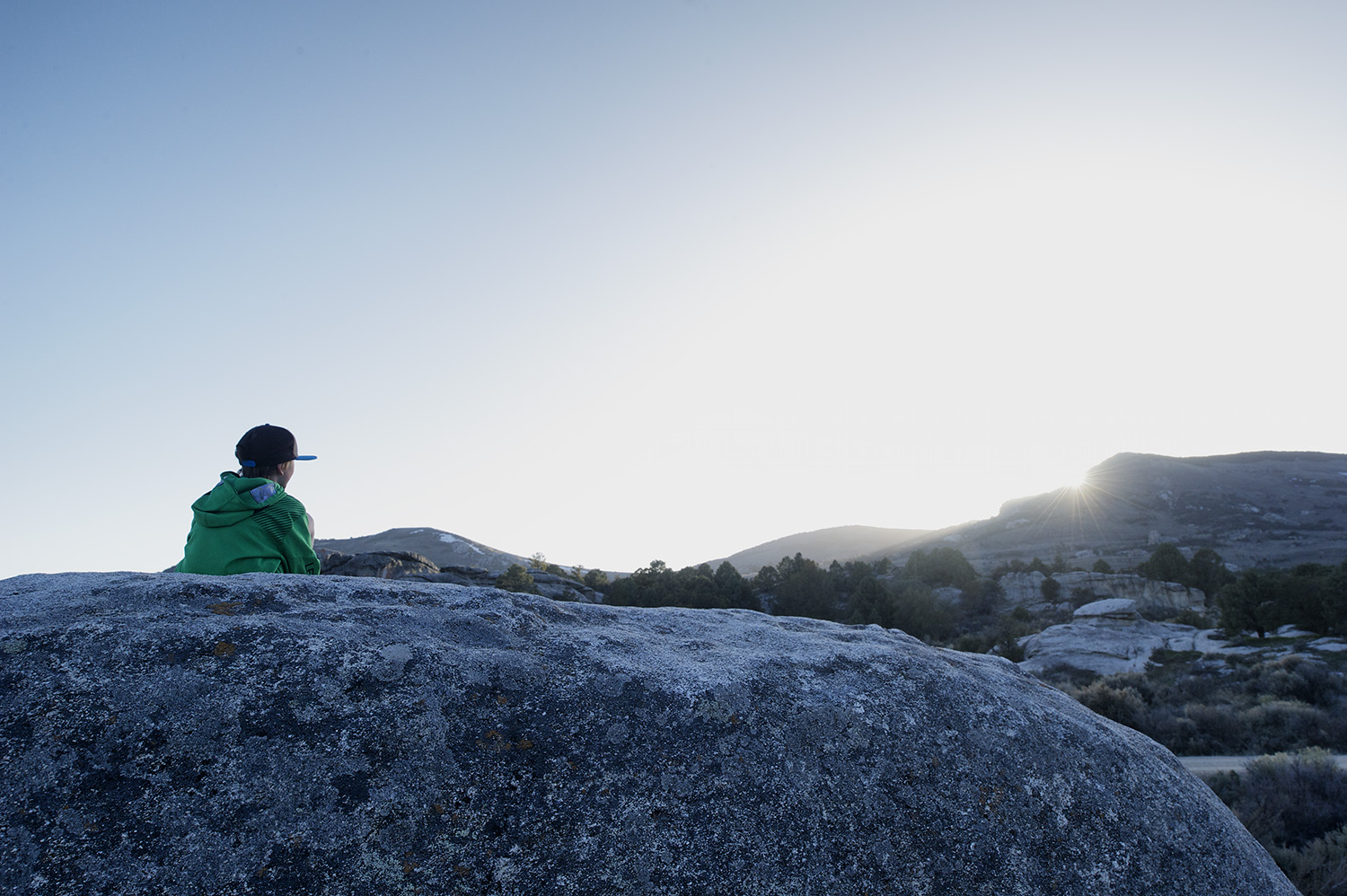
A contemplative moment. Indian Creek. Middle Fork of The Salmon River, Idaho.
Idaho Back Country Pilot. Cessna 206. Indian Creek to Stanley.
Frank Church. Burn area from the 2000 Pistol Creek Fire.
Salmonfly
Collecting rainwater from the tarp.
Sunset
Fire Island camp.
Fire Island. On this tiny island there is a small hot spring that pumps out a small stream of steaming hot water.
Salmonfly. Pteronarcys californica
An emerging salmonfly. On this particular night, I watched hundreds of salmonfly nymphs crawl out of the river and onto rocks and shrubs to morph into adults. The image above was taken after 11 PM.
Caddis Migration.
With the Middle Fork of The Salmon blown out and muddy from strong thunderstorms, we hiked to small creeks with clear water to filter our drinking water. Charlie, pictured, walks back upstream to Dolly Lake with the goods.
Silver Creek Opening Day
Tomorrow is opening day on many of our local Sun Valley area waters including Silver Creek. It rained very hard this morning in Picabo and it is slated to rain again tomorrow. Think of the rain as crowd control...
John Huber letting a cast run to the far side. Silver Creek, Idaho.
South Fork Of The Boise River. Winter.
With temps forecast to be well above freezing yesterday a few of us decided to make a quick run over to The South Fork of The Boise. I had not been there since prior to the fire in the summer of 2013. While there are certainly some major changes to the river, the South Fork still has the same mojo it's always had with me; the potential for large rainbows and even rising fish in the heart of winter.
Winter. South Fork Of The Boise River
Zac Mayhew reaches out for a South Fork rainbow.
Minimal Landscape
The image below was taken near the Silver Creek Preserve, Idaho.
Winter Storm & Trees.
Winter Landscape Photography
Well, over the past week our winter has resurrected itself. It snowed much of today and 5" to 10" more is forecast to fall by Friday night. The images below were taken today near Silver Creek.
Heron & Fence.
Wheel Lines.
Winter Storm & Aspen.
Queen's Crown
Queen's Crown. Near Picabo, Idaho. Late Fall.
Silver Creek
Below are two images taken a couple days ago high above Silver Creek near Picabo, Idaho.
Picabo Sunset
Sunset. Picabo, Idaho. October.
Sun Valley Early Fall Snow
We have been in the midst of a lot of weather since the beginning of September and immediately after our fires. The Big Wood River jumped from about 187 cfs to 522 cfs and still has essentially zero visibility downstream of Warm Springs Cr. Even Trail Cr., which was not effected by fire, was blown out today. Here are a few images taken over the last few days.
Stocker Road Black & White
Below is an image taken of and from Stocker Road which is the west side entrance to the Silver Creek Preserve. The cloud in the background is actually smoke from the Beaver Creek Complex Fire. A substantial size crew--an ICP (Incident Command Post) has set up camp between Hailey and Ketchum off of Buttercup Rd. This fire is believed to be caused by lightning and has grown to approx 35,000 acres and at the time of writing this is 16% contained. Here is the link to the USFS Large Fire Incident site: Here
Below is an image of Silver Creek from The Nature Conservancy section and the Beaver Creek Complex Fire.
Camera: Nikon D3s
Lens: Nikon ƒ1.8 50mm
Kane Lake
Camera: Nikon D3s
Lens: Nikon 24 pc-e
Leica D-LUX 4
An older--circa 2008--Leica point and shoot arrived in the mail today and I have to say I was super excited to play with it. Prior to this I really never owned a point and shoot camera. I do use an iPhone camera which is a different toy altogether. I have the ability to shoot RAW and use manual modes which, outside of the sensor size and iso capabilities, is all I really need in a small camera. Outside of the RAW capability and the manual modes, I love being able to shoot in the 16:9 format. Here is an image taken today with it. Shot in RAW mode and recorded in 16:9 format. Converted to B & W in Photoshop CS6.
Camera: Leica D-LUX 4
Silver Creek Preserve
We are in a bit of a thunderstorm cycle at the moment despite the fact it has not rained much. Trees are budding and flowers like bluebells and phlox are popping out at lower elevations. Thunderheads carry on and the wind blows on many days. The image below was taken on Sunday evening of the Silver Creek Preserve. What you cannot tell is how hard the wind was blowing...
Nikon D3s & Nikon 14-24 ƒ2.8 lens
City Of Rocks, Idaho
Below is a shortish slideshow of a recent trip down to Idaho's City Of Rocks. Hit the right or left arrow to navigate or click on an individual thumbnail.

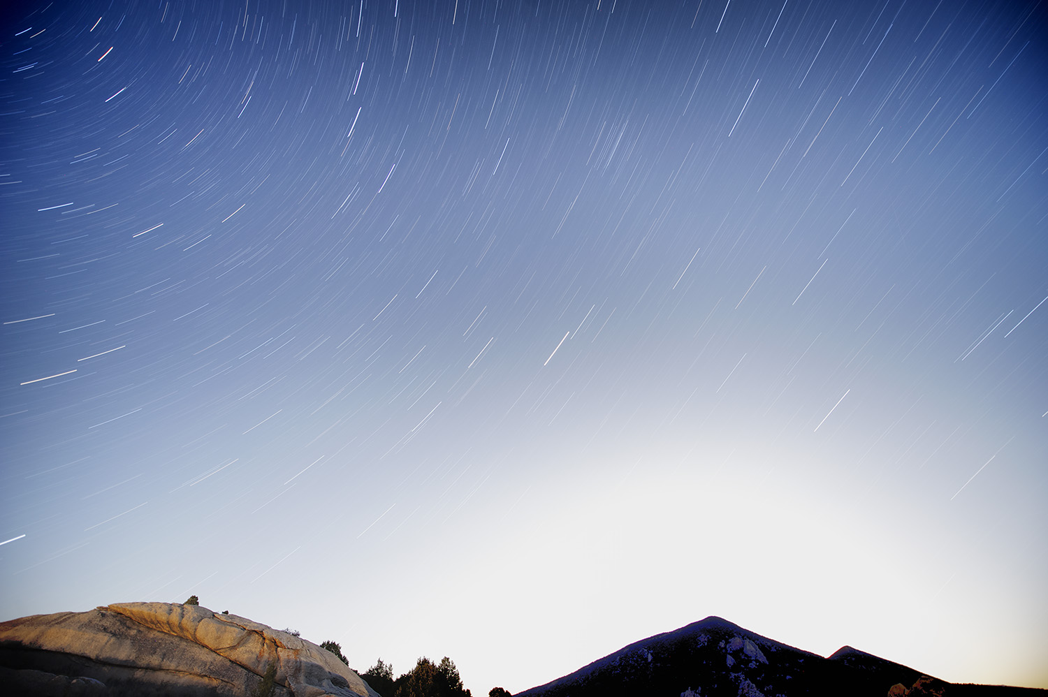
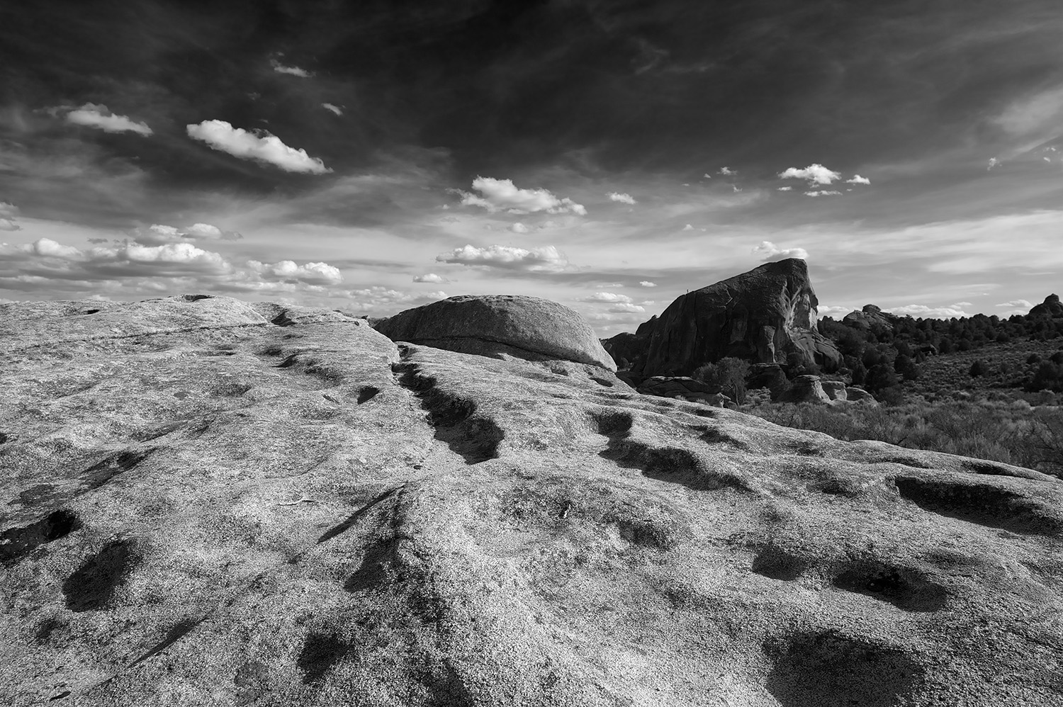
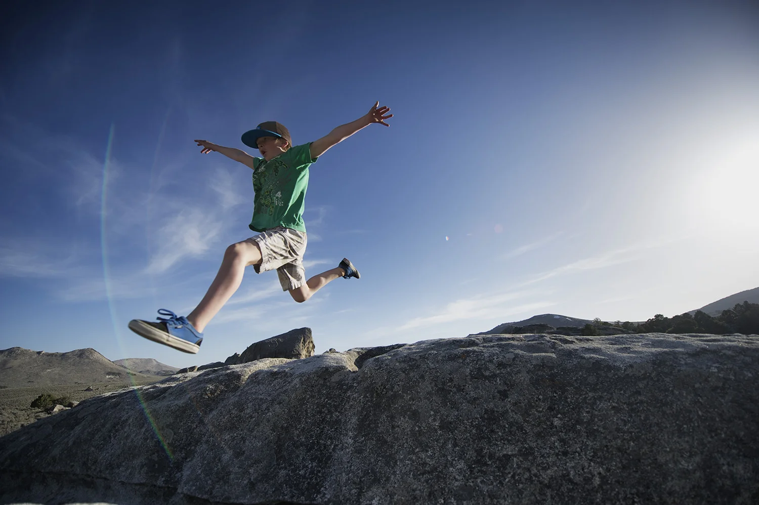
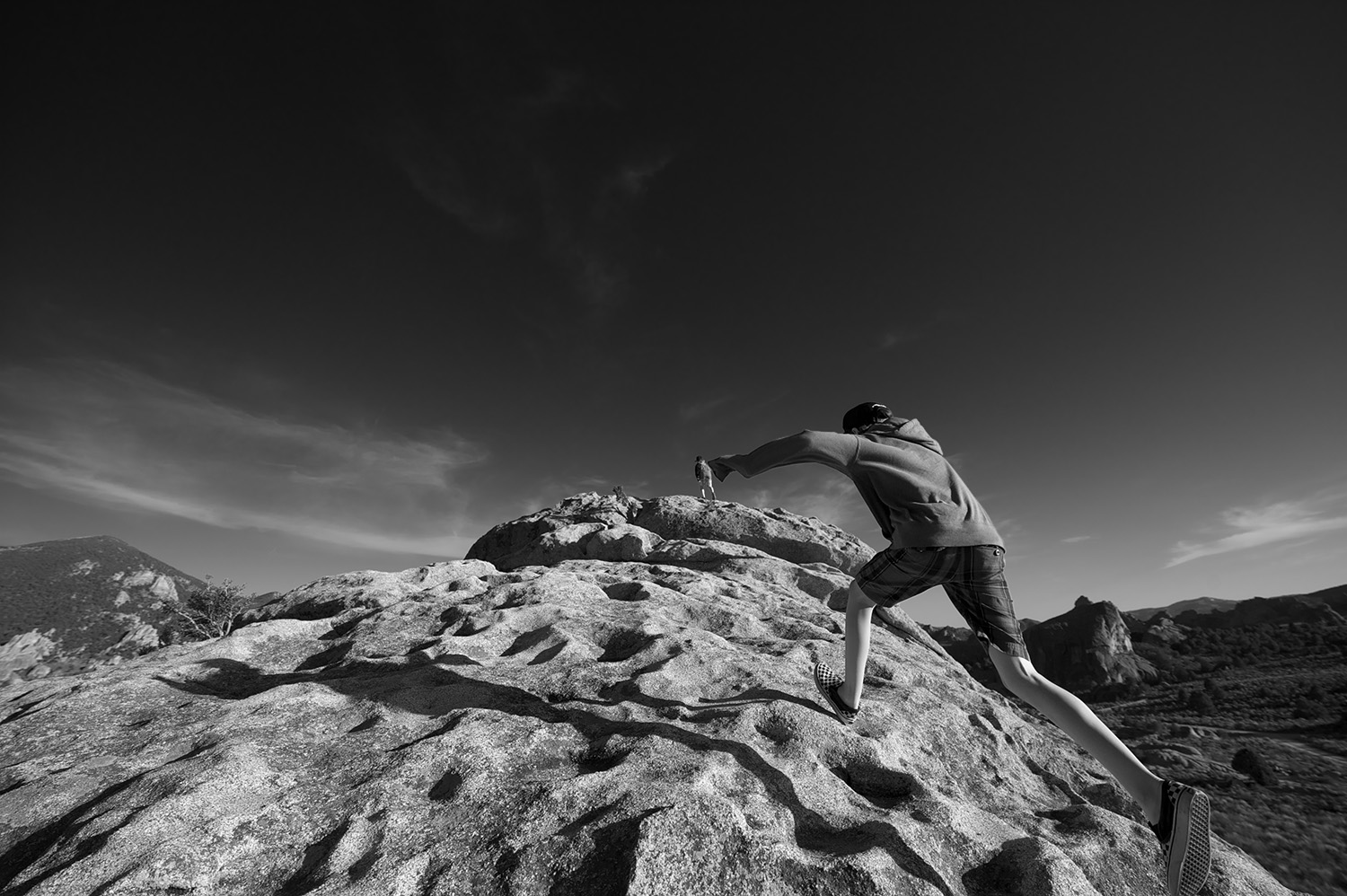

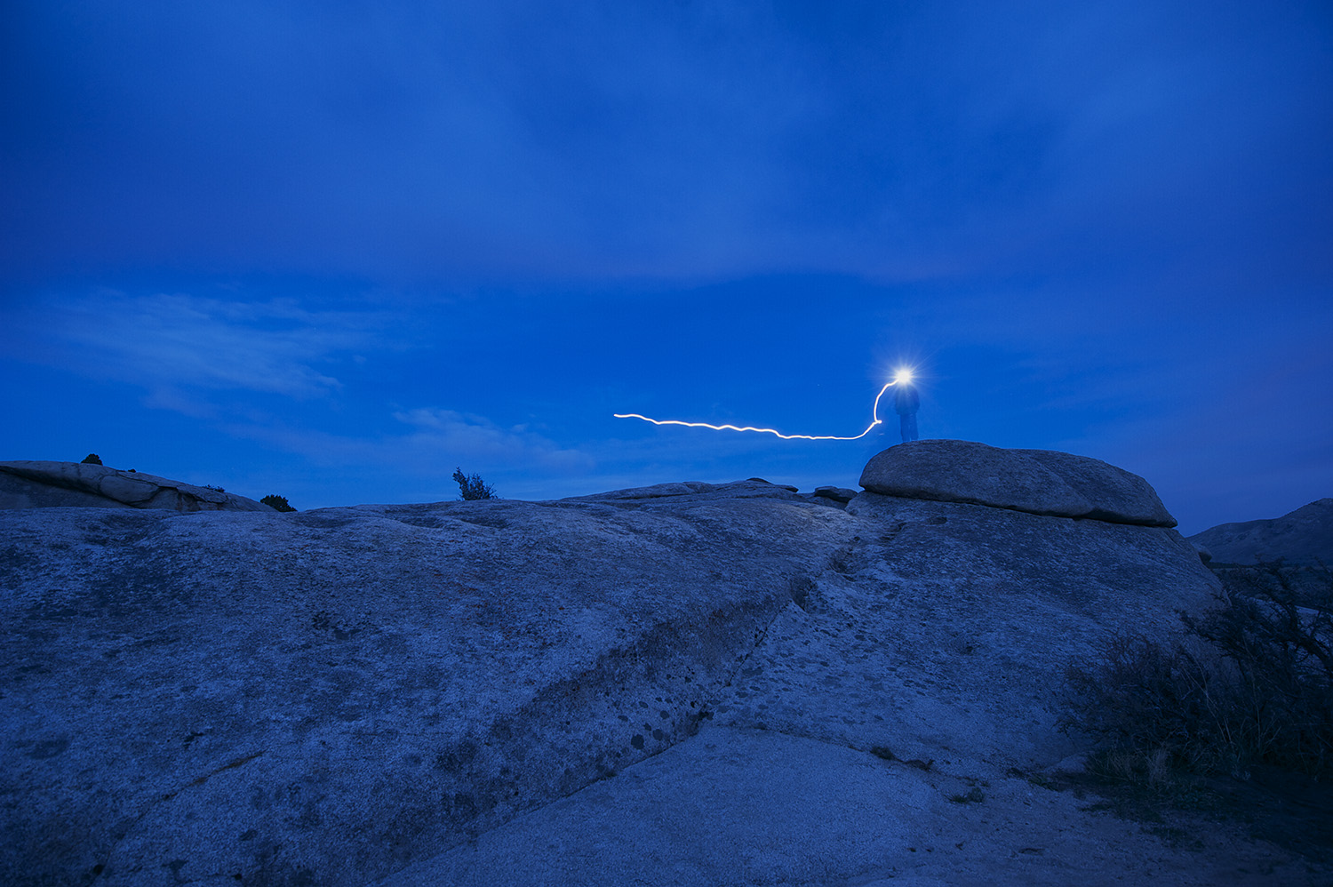


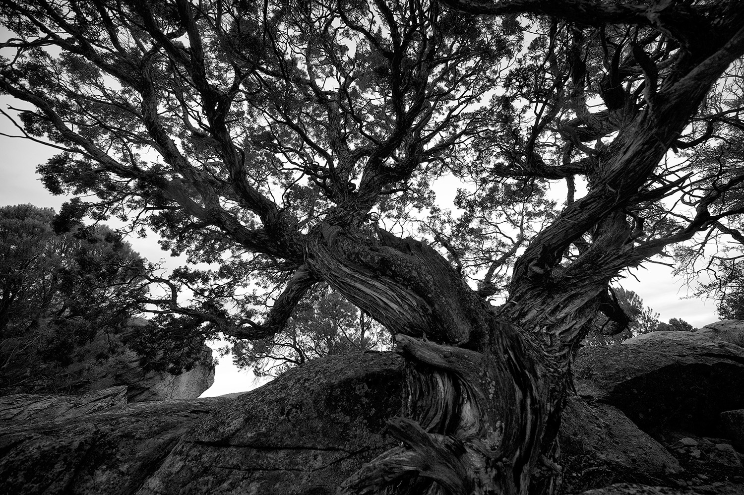
Camera: Nikon D3s and mainly the Nikon 14-24 ƒ2.8 lens
Early Spring Near Silver Creek, Idaho
Go south of Sun Valley, Idaho and pass through Hailey and Bellevue and take note after passing through Gannett of the hints of green popping up. Some fields are still being disced and dust from the tractors stays suspended like silt in nearby Silver Creek after a moose or fisherman has waded through the Creek.
Spring Landscape. Hills behind the Silver Creek Preserve.
Discing a field near the Silver Creek Preserve, Idaho.
Nikon D3s & Nikon 50 ƒ1.8 lens
Wheel Line & Picabo Hills
Nikon D3s & Nikon 14-24 ƒ2.8 lens
Idaho Spring Landscape
In the spring the clouds take on a different dimension. They carry thunder and the wind is warmer and the brittle and dessicated tall grasses from last summer rattle and farmers push on in their fields discing the soil for this year's crop and dust follows the tractor like a lonely smoke plume slowly dissolving in the palpable spring air and raptors perched on fence posts seem to have more energy and fly like well fed predators and farmers and ranch hands stop for a moment while having coffee with dirt stained hands and notice the green perennial alfalfa popping up and maybe there's a grin and an optimistic thought and then that fades to the inevitable thought of now.
Stocker Road
Below is an image taken yesterday of Stocker Road near the Silver Creek Preserve. It was midge madness on Silver Creek yesterday from Picabo all the way through the Nature Conservancy. Unfortunately Silver Creek--with the exception of a tiny section in the desert--is closed.
Ordinary Landscape Diptych
Here are two images taken of the same fire ring from almost the same spot using two different--albeit close--focal lengths. The color image portion of the diptych taken in the summer inspired me to start a project I call, Ordinary Landscapes. The location is Summit Creek, Idaho. The tracks going through the winter image are of coyotes.